


Geo Informatics
Geo Informatics: Career, Placements and Education Information
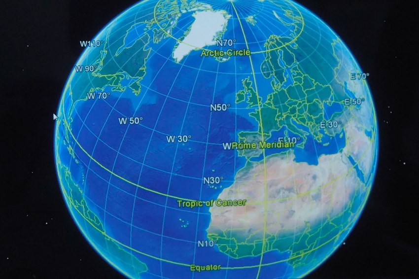
What is Geo Informatics?
Geomantic is a similarly used term which encompasses geoinformatics, but geomantic focuses more so on surveying. Geoinformatics has at its core the technologies supporting the processes of acquiring, analyzing and visualizing spatial data. Both geomantic and geoinformatics include and rely heavily upon the theory and practical implications of geodesy. Geoinformatics deals with the study of earth and its allied informatics. It is the scientific technology dealing with the spatial information - the digital connection between location, people, and activities. This information can graphically illustrate what is happening (where, how and why) to show the insight and impact of the past, the present and the (likely) future. And it ends with a map that a common man can easily understand and interpret.
Scope of Geo Informatics?
- Graduates/postgraduates are mostly hired by central government agencies such as the Department of Space - National Remote Sensing Agency (NRSA Hyderabad), & Regional Remote Sensing Application Centre (RRSAC Kharagpur, Dehradun, Jodhpur, Nagpur, and Bangalore), and Indian Space Research organization, (ISRO Bangalore).
- Professor, Reader, and Research positions are available in academic institutions and the prospects of starting one's own enterprise.
Placements
- CyberTech Systems
- Reliance Communications Limited
- Reliance Energy
- Reliance Industries Ltd
- Tata steel mining operations